Websites GeoFlickr
Project Description
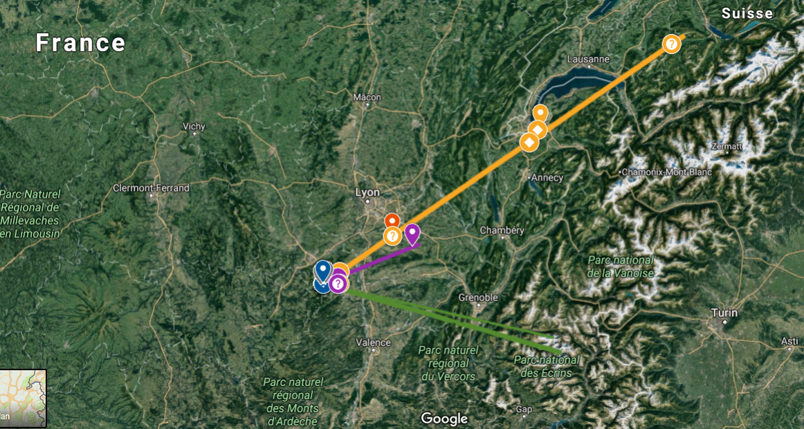
Thomas de Charentnay asked me to make an online programm that can get all the exif data containing GPS informations from a Flickr collection and turn them into points on a google map. I used the Flickr Api, and a little bit of programming to create a KML file, usable by google maps.